The Outer Banks: What, Where, and Why?

Outer Banks Vacations transcend many Generations...
Most folks on the East Coast of the United States know the name “Outer Banks” and usually make the association with Cape Hatteras. More often than not, people know of the towns of Duck or Nags Head, but don’t realize those towns are part of the greater Outer Banks.
Where are the Outer Banks?
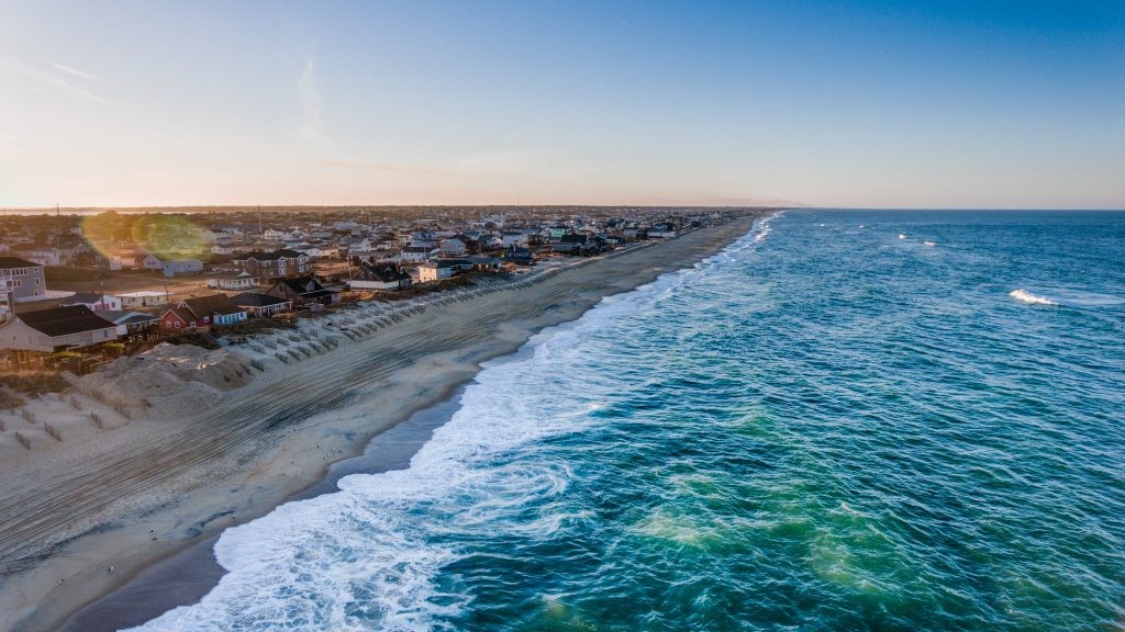
The Outer Banks are a thin land mass extending down from coastal Virginia to the easternmost edge of North Carolina.
Only accessible by bridge, the Outer Banks are a unique geographic feature drawing hundreds of thousands of tourists each year.
Why is it called The Outer Banks?
The Outer Banks is an interesting, but apt, name. This land formation is the outermost landmass of North Carolina. Some people argue the Outer Banks stops at Ocracoke Island, where others say the banks extend down to Emerald Isle and the Crystal Coast of North Carolina.
There’s probably not a right or wrong answer, but you might get differing opinions depending on who you ask and where you are.
What are the Outer Banks?
The Outer Banks are barrier islands. Barrier islands form from waves and tidal movements happen parallel to the main land. The barrier islands protect the mainland during storms and protect the wetlands. Wetlands usually form between barrier islands and the mainland, making them in an ideal sanctuary for marsh life. Barrier islands form areas of brackish water, without which, many species would fail and die. Marshlands would not be able to exist without barrier islands.
The Outer Banks is made up Hatteras Island, Bodie Island, Roanoke Island, and Ocracoke Island.
For the Outer Banks, the barrier island is habitable and drivable. However, those who live in this area know how dangerous these shifting sands can be. In 2017, a new island formed called Shelly Island. By March 2018, the ocean claimed it again.
Currently, a new bridge over Oregon Inlet is being built to replace the existing one as it’s shifted and moved with the sands over time. Additionally, nearly ever storm creates a new inlet in an area called S-Curves on Highway 12 towards Cape Hatteras.
Because Highway 12 is a critical road to get to the southernmost Outer Banks, the road has to be repaired multiple times per year.
Even with the ever-present danger of nature, the Outer Banks are a delightful, magical place to live and vacation. See you there soon!!